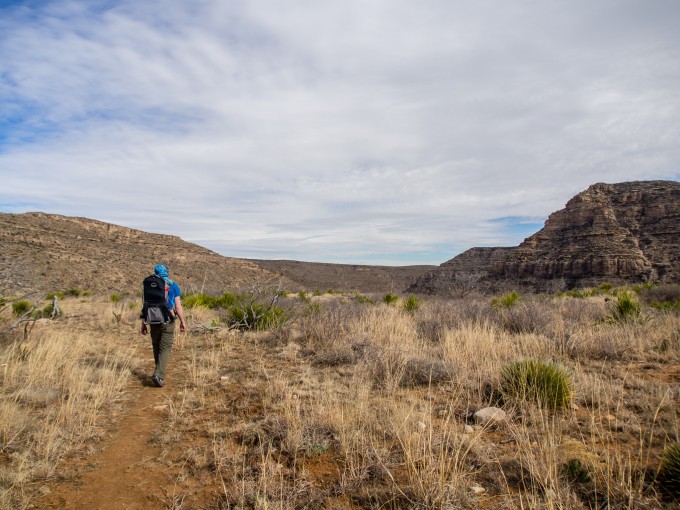
We had been driving A LOT for the past 7 days so we opted for a hike, recommended by many, that was only 40 minutes from our campground. After driving down a winding desert road for 20 miles or so we arrived at the day use area within Lincoln National Forest, found at the end of the road.
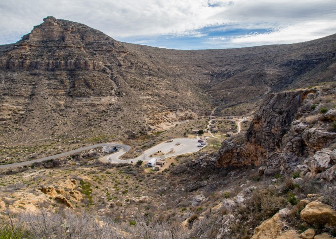
View of the parking area as seen from above.
We were the first car in the parking lot! The park opens at 8:30am and closes to incoming traffic at 4:00 and outgoing traffic at 5:00. This is strictly enforced with gates and a tire shredder. The day-use area is $5 per vehicle per day, or free with an annual pass (i.e. America the Beautiful Pass ($80)).
We weren’t out of the car for very long when the park host popped out of his large fifth-wheel trailer and came over to talk to us. He was an older gentlemen named David with a long grey beard and a sweet National Forest Volunteer baseball cap on his head. He was a talker and we found ourselves learning a lot about the park, being a park host, how to scare off a cougar, and the “confusing” signage located along the trails.
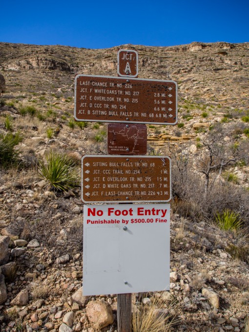
This sign is beyond confusing and makes visitors think they can’t walk on the trails… It’s supposed to tell you that you can’t leave the trail.
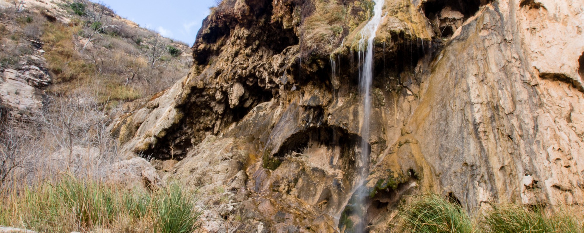
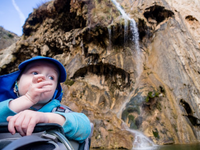
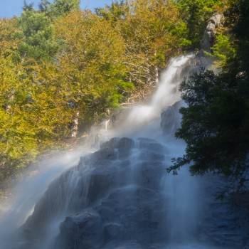
Soon enough we set off along the trail, described for us by David, and made the short trek to the view point for Sitting Bull Falls.
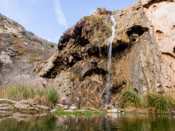
Sitting Bull Falls
The paved path with railings had a staircase leading down to the rocks surrounding the pool made by the falls. We hopped around exploring and taking in the view of the falls from all possible angles. The water had created incredible rock formations and we couldn’t help but linger and admire the scenery.
We returned back down the short paved path and took a dirt trail the veered to the left and up a short, steep bluff.
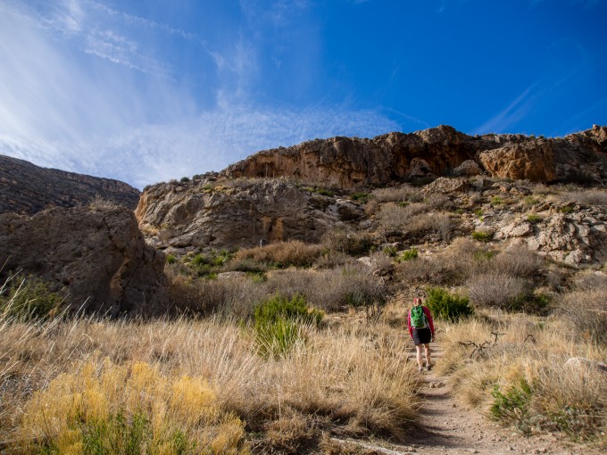
Heading up the bluff.
The upper trail leads to the top of the falls, though we thought looking over the edge would be more remarkable than it was.
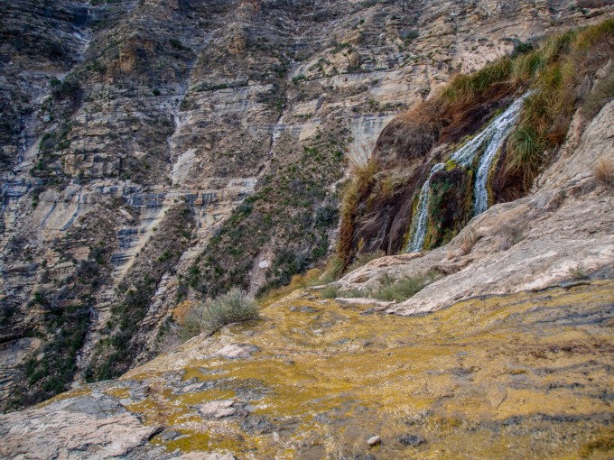
Top of Sitting Bull Falls
We trekked along the top of the bluff taking in the magnificent scenery around us. Cacti and juniper trees flanked the rocky path.
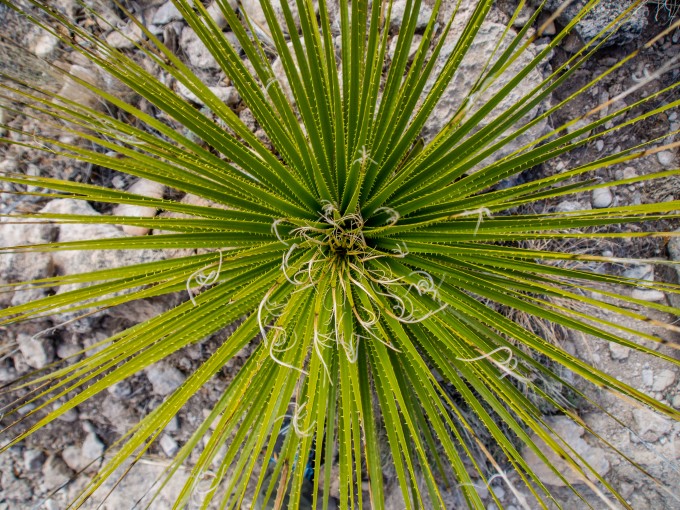
Sweet Cacti
Many of the trail signs have been blown over, but thanks to our instructions from David we knew just where to go. There were two trail junctions along the route, we veered right at both to take us on a short loop with some great scenery. Had we veered left at the first junction we could’ve followed the creek and seen small pools of water that feed the falls. The trail would’ve continued on up to the top of a taller bluff. We were sore from our 3.75 mile hike on paved trails from the day before so we opted for a shorter, easier loop.
Bobby and Jack trekking along.
Soon enough we were heading back down the opposite side of the bluff, which was much less steep than the side we had gone up. There were switchbacks and intermittent interpretive signage along the way talking about the native plants.
Upon returning the parking lot it wasn’t long before David came over and continued to chat with us. We let Jack run around the picnic area, ran into some people we had met at the KOA before getting in the car to head to a nearby town for some lunch. Artesia, New Mexico had been touted as an adorable downtown area with lots of fun shops by the KOA employees. It did not live up to the hype and was a run of the mill small town. We had a good lunch at the Wellhead Restaurant and Brewhouse before exploring the downtown area. We found a sweet little cove filled with art and fountains that Jack loved exploring.
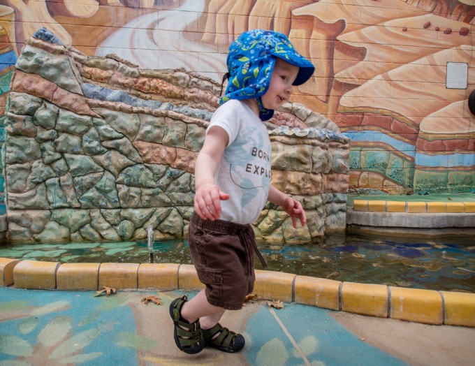
Exploring the fountains in Artesia, NM.
Sitting Bull Falls was not only gorgeous but easily accessible for all fitness levels. The picnic area is gorgeous and makes this a perfect destination for a day of fun in the desert. In addition to the short loop we hiked, there are a number of other trails in the area to make a longer hike. Also, you can continue on 137 to Dog Canyon in Guadalupe Mountains National Park for even more adventures. We would skip Artesia next time and wished we would’ve just packed a picnic and eaten at the falls.
For more photos check out our Facebook Page!
I don’t want to be critical, but you misused the word “then” when it should have been “than.” And you misspelled the city name, Artesia.
Other than that, your article was informative!
Thanks for the feedback! I fixed those two typos.
Now that I’ve gotten older (80+) I appreciate knowing about how steep the trails are and any recommendations as to fitness. It’s hard to stop take these trips even if the body isn’t what it used to be.
Great Post and Read!!!!